CHARLESGATE
Boston, MA | 2017-Present
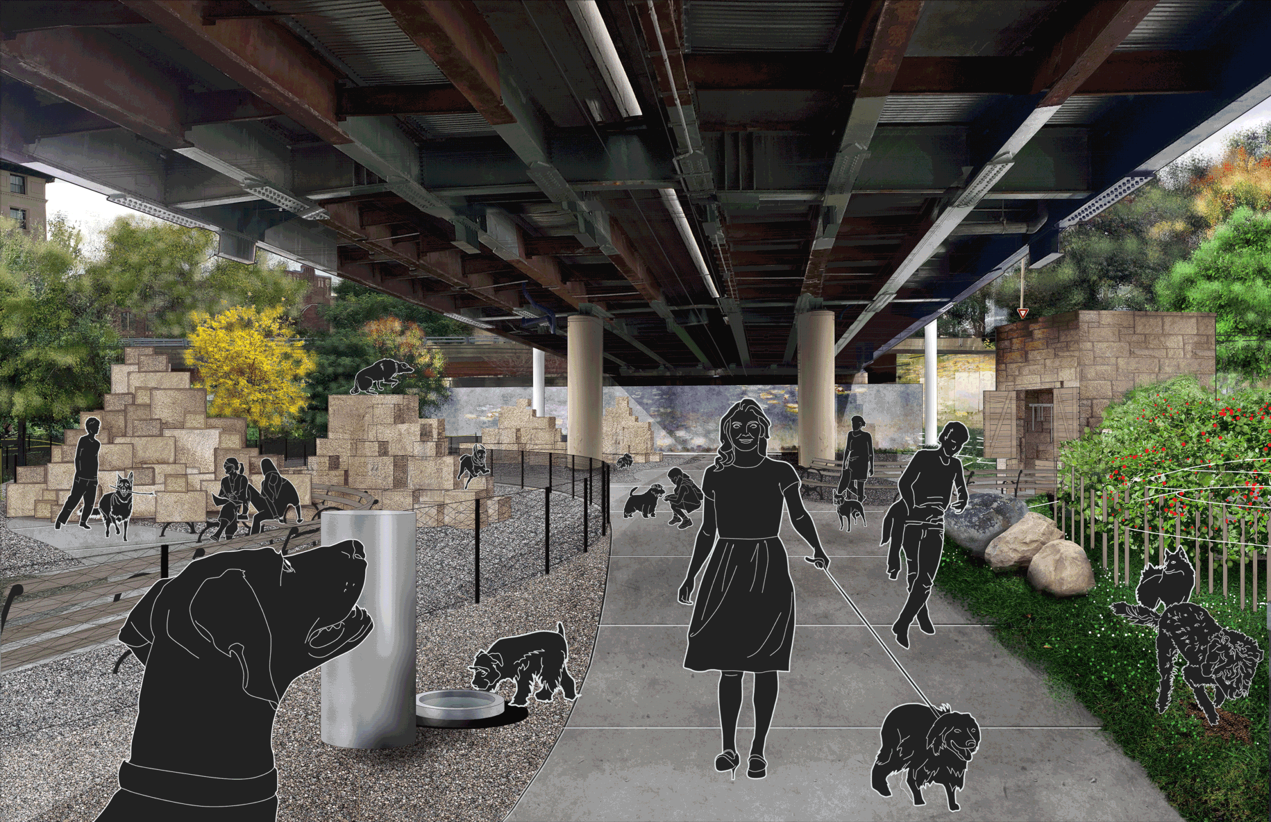
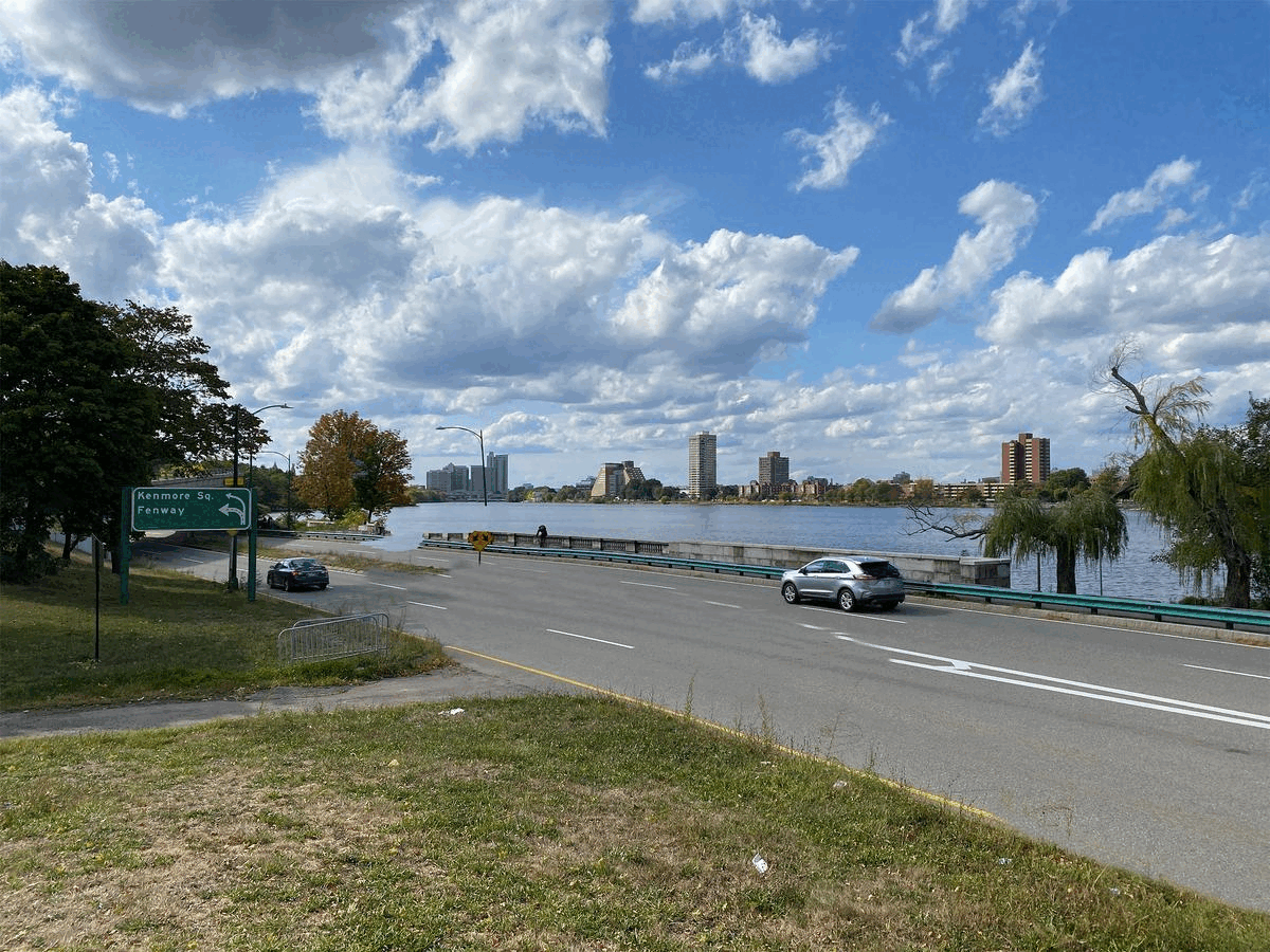
Charlesgate is a project to restore ecological infrastructure performance, urban connections and public access recreation to the terminus of the Emerald Necklace. Charlesgate was first designed by Frederick Law Olmsted in the 1880’s to connect the three major historic park systems of Boston- The Charles River Esplanade, the Commonwealth Avenue Mall and Commons, and the Emerald Necklace. The Muddy River flows through Charlesgate and is the principle drainage conduit for the Back-Bay region of Boston and much of Brookline. In the 1960’s the Bowker roadway overpass was built over Charlesgate, which broke many of the historic connections created by Charlesgate, introduced new storm-water catchment and discharge, and ultimately eliminated the public access park landscape from this portion of the Emerald Necklace. This design aims to create new multi-modal connections to reconnect the park systems of Boston, introduce plant based storm water infrastructure improvements to manage runoff from the overpass above and surrounding surface roads, and restructure the Muddy River shoreline to improve habitat, and water quality.
This design project is in collaboration with the Charlesgate Alliance, Emerald Necklace Conservancy and in consultation with the Massachusetts Department of Conservation and Recreation (DCR) and Department of Transportation (DOT).

Charlesgate is the critical link between three disconnected park systems